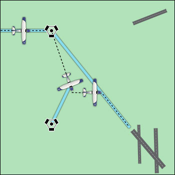
Getting lost in an aircraft is a potentially dangerous situation especially when low on fuel. If a town or city cannot be seen, the first thing to do is climb, being mindful of traffic and weather conditions. An increase in altitude increases radio and navigation reception range, and also increases radar coverage. If the aircraft has a navigational radio, such as a VOR or ADF receiver, it can be possible to determine position by plotting an azimuth from two or more navigational facilities. Additionally, GPS can be used to determine your location and nearest available airport. Communicate with any available facility using frequencies shown on the sectional chart. If contact is made with a controller, radar vectors may be offered.